 IMAS Metadata Catalogue
COASTAL
Type of resources
Topics
Keywords
Contact for the resource
Provided by
Years
-
This dataset comprises summaries of sight and resight data compiled for the NESP MBH project A13 and derived from data housed in the Australian Right Whale Photo Identification Catalogue (ARWPIC) and associated effort summaries. These summaries have been compiled as part of an analysis of mark recapture information in establishing trends in the population and spatial connectivity of individuals across southern Australia. The summaries are based on original sightings data collected across 1990-2018 by ARWPIC partners. The ARWPIC is housed at the Australian Antarctic Division and managed by the Australian Marine Mammal Centre.
-
A review of peer-reviewed publications was undertaken, focusing on coastal and marine microplastics relevant to South Eastern Australia (South Australia, Victoria, and New South Wales), as well as from ongoing citizen science programmes from AUSMAP (https://www.ausmap.org/). This dataset summarises basic information about the microplastics studies: the location of the study; if the study focused on water, sediment or biota; the type of biota (for biotic studies); and the DOI of the publication. Although the primary focus of this study was restricted to southeastern Australia, studies collated from other regions have also been included in this dataset. The outcomes of the literature review for other regions (QLD, NT, SA, WA, Tas) should not be considered comprehensive.
-
Tidal wetlands are vulnerable to accelerated rates of sea-level rise projected by climate models. Assessing the resilience, or vulnerability, of these environments requires measurements of rates of vertical accretion, subsidence and elevation gain across a range of coastal settings. The Surface Elevation Table (SET) technique is applied globally to assess the extent of vertical adjustment of tidal wetlands to sea-level rise over decadal timescales. This enables measurement of whether wetlands are keeping pace with sea level rise (measured at tide gauges), or subsiding relative to local sea level rise and thus vulnerable to permanent inundation and loss. Australia’s network of Surface Elevation Tables is one of the most extensive in the world, consisting of over 200 benchmark monitoring stations from Westernport Bay, Victoria to Darwin Harbour, NT. This record describes the consolidated SET data collated from the Australian network (OzSET) as at 2022. This data can be used for analysing change to the elevation of wetlands wetlands at the study sites encompassed by OzSET.
-
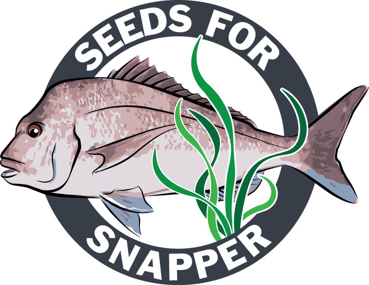
This data is from the 2021 'Seeds for Snapper' season which is a community volunteer seed based seagrass restoration program located in Perth, Western Australia. It details the effort that went into the collection of Posidonia australis seagrass fruit including number of divers, number of shore support personnel, volunteered hours, and fruit collection metrics (volume, estimated number).
-
This record provides an overview of the NESP Marine and Coastal Hub Research Plan 2023 project 3.7 – Identifying and overcoming barriers to coastal and marine habitat restoration and Nature based Solutions in Australia. No data outputs are planned for this project. -------------------- There is an increasing need for coastal and marine restoration around Australia to help address habitat and biodiversity loss, water quality decline, invasive species impacts, and coastal inundation and erosion; and to identify blue carbon opportunities. However, broader uptake of restoration and nature-based solutions in Australia is constrained by policy and legislative barriers, limited adoption within engineering practice, and insufficient inclusion of Aboriginal and Torres Strait Islander peoples in project design and delivery. This project examined barriers and opportunities for scaling marine and coastal restoration and nature-based solutions across three themes: (1) regulatory and permitting pathways; (2) engineering sector adoption, and (3) Aboriginal and Torres Strait Islander inclusion and co-design. The approach built on earlier work through Marine and Coastal Hub Project 1.6 (https://www.nespmarinecoastal.edu.au/project/1-6/) which identified a clear need for coordinated, landscape-scale restoration and greater support for nature-based approaches. Research reviews of approval and permitting processes were conducted in Queensland, New South Wales, Tasmania and South Australia, with a focus on oyster reef restoration and tidal reintroduction for wetland restoration. Consultation was undertaken with Commonwealth and state agencies, the national Wetland and Aquatic Ecosystems Task Force, restoration practitioners, non-government organisations, engineering and environmental consultancies, and Indigenous groups involved in restoration activities. Workshop and consultation findings were translated into practical guidance and framework materials for governments, practitioners and restoration proponents. These outputs provide a basis for clearer approval pathways, greater confidence in nature-based solutions within coastal engineering, and more inclusive restoration planning with Aboriginal and Torres Strait Islander peoples. Outputs • Identifying and overcoming barriers to marine and coastal habitat restoration and nature-based solutions in Australia [project summary - written] • A blueprint for overcoming barriers to the use of nature-based coastal protection in Australia [written] • Legislative permitting processes for restoration [written] • Pathways to Aboriginal and Torres Strait Islander inclusion and co-design in restoration [written]
-
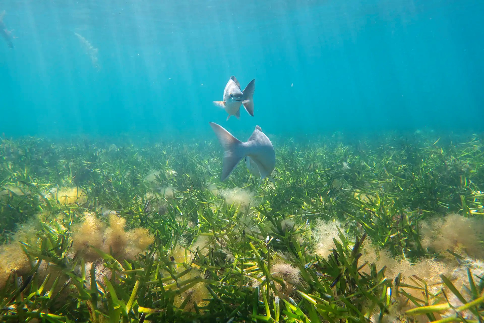
In March 2020, The University of Western Australia (UWA) and the Malgana Rangers transplanted by hand 36 pieces of Posidonia australis and Amphibolis antarctica into nearby restoration plots at Dubaut Point, Shark Bay. In March 2022 UWA went back to assess survival and shoot growth which is detailed in this dataset.
-
This project undertook a rapid exploration of information on a priority subset of species identified by the Department of Climate Change, Energy, the Environment and Water (DCCEEW) and the National Offshore Petroleum Safety and Environment Authority (NOPSEMA) that are listed as critically endangered or endangered under the Environment Protection and Biodiversity Conservation Act 1999. It specifically focused on these species in relation to the Gippsland declaration area, and the adjacent areas to the declaration area in Bass Strait. This rapid exploration of information was conducted as follows: 1) identify datasets and information sources relevant to priority species identified by DCCEEW and NOPSEMA for the Gippsland declaration area; 2) identify the source of these datasets and information and their level of accessibility; 3) evaluate the utility of datasets and information identified in 2) for assessments/regulatory processes required to be undertaken by DCCEEW and NOPSEMA; and 4) identify what activities would need to be undertaken to improve the accessibility and utility of datasets and information sources identified in 3) that are not currently accessible in useable formats. Fifteen priorities species (12 birds, 3 cetaceans) were identified for which publicly-available occurrence data could be located. This record and the attached download describes the data inventory for Orange-bellied Parrot (Neophema chrysogaster). To download the data inventory for all fifteen priority species, see https://doi.org/10.25959/GB51-RW44.
-
This project undertook a rapid exploration of information on a priority subset of species identified by the Department of Climate Change, Energy, the Environment and Water (DCCEEW) and the National Offshore Petroleum Safety and Environment Authority (NOPSEMA) that are listed as critically endangered or endangered under the Environment Protection and Biodiversity Conservation Act 1999. It specifically focused on these species in relation to the Gippsland declaration area, and the adjacent areas to the declaration area in Bass Strait. This rapid exploration of information was conducted as follows: 1) identify datasets and information sources relevant to priority species identified by DCCEEW and NOPSEMA for the Gippsland declaration area; 2) identify the source of these datasets and information and their level of accessibility; 3) evaluate the utility of datasets and information identified in 2) for assessments/regulatory processes required to be undertaken by DCCEEW and NOPSEMA; and 4) identify what activities would need to be undertaken to improve the accessibility and utility of datasets and information sources identified in 3) that are not currently accessible in useable formats. Fifteen priorities species (12 birds, 3 cetaceans) were identified for which publicly-available occurrence data could be located. This record and the attached download describes the data inventory for Swift Parrots (Lathamus discolor). To download the data inventory for all fifteen priority species, see https://doi.org/10.25959/GB51-RW44.
-

The Seamap Australia National Benthic Habitat Layer (NBHL) is a compilation of benthic habitat datasets obtained from various sectors including research, government, industry and community sources, across Australia. Disparate datasets are integrated into a single national-scale benthic habitat database, and classified uniformly under a national classification scheme implemented as a controlled vocabulary (https://vocabs.ardc.edu.au/viewById/129). For acceptance into the 'formal' (validated_ Seamap Australia NBHL (see https://metadata.imas.utas.edu.au/geonetwork/srv/eng/catalog.search#/metadata/4739e4b0-4dba-4ec5-b658-02c09f27ab9a), source habitat datasets must meet a set of Acceptance Criteria (documented in https://seamapaustralia.org/wp-content/uploads/2023/01/SeamapAustraliaDataAcceptanceGuidelines.pdf). Broadly speaking, for inclusion in the Seamap Australia NBHL, datasets must: (1) be well-described by metadata or associated documentation; (2) employ a single, consistent classification scheme which avoids non-deterministic or ambiguous terms; (3) bequality-controlled by the provider prior to contribution; (4) beacquired using an established and community-endorsed form of data collection (eg satellite, aerial or acoustic remote sensing); and (5) have documented evidence of ground-truthing validation at the time of data collection (e.g. drop camera, towed video, benthic grabs). This record describes habitat datasets that meet Acceptance Criteria 1-4, but *have not* been validated/ground-truthed and are therefore ineligible for inclusion in the formal Seamap Australia NBHL. They have been synthesised and uniformly classified using an identical methodology to the NBHL, but represent an intermediate collection of habitat datasets that would benefit from field ground-truthing in order to validate the habitat classifications. The Seamap Australia synthesis of unvalidated habitat datasets can be viewed, analysed and downloaded from the Seamap Australia data portal (https://seamapaustralia.org/map). This dataset should be considered a “live” asset and will continue to develop as more unvalidated habitat datasets are collected or made available. The most current (2024) version of the data is available from the following endpoints: WMS: https://geoserver.imas.utas.edu.au/geoserver/seamap/wms WFS: https://geoserver.imas.utas.edu.au/geoserver/seamap/wfs Layer name: SeamapAus_NBHL_unvalidated Various download options are supplied in the “Online resources” section of this record.
-
This project undertook a rapid exploration of information on a priority subset of species identified by the Department of Climate Change, Energy, the Environment and Water (DCCEEW) and the National Offshore Petroleum Safety and Environment Authority (NOPSEMA) that are listed as critically endangered or endangered under the Environment Protection and Biodiversity Conservation Act 1999. It specifically focused on these species in relation to the Gippsland declaration area, and the adjacent areas to the declaration area in Bass Strait. This rapid exploration of information was conducted as follows: 1) identify datasets and information sources relevant to priority species identified by DCCEEW and NOPSEMA for the Gippsland declaration area; 2) identify the source of these datasets and information and their level of accessibility; 3) evaluate the utility of datasets and information identified in 2) for assessments/regulatory processes required to be undertaken by DCCEEW and NOPSEMA; and 4) identify what activities would need to be undertaken to improve the accessibility and utility of datasets and information sources identified in 3) that are not currently accessible in useable formats. Fifteen priorities species (12 birds, 3 cetaceans) were identified for which publicly-available occurrence data could be located. This record and the attached download describes the data inventory for Mongolian Lesser Sand Plover (Charadrius mongolus). To download the data inventory for all fifteen priority species, see https://doi.org/10.25959/GB51-RW44.