 IMAS Metadata Catalogue
economy
Type of resources
Topics
Keywords
Contact for the resource
Provided by
Years
-
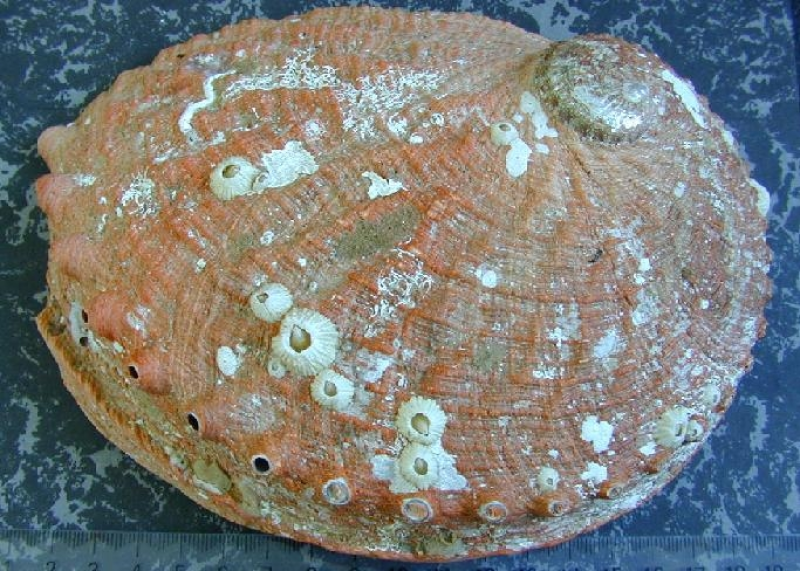
This project uses positional information from GPS loggers on abalone divers' boats and depth information from depth loggers attached to the divers for fine-scale spatial reporting of abalone fishing.
-
Business structure and costs for Southern Rock Lobster fisheries in Tasmania including fixed (vessels, infrastructure) and variable (bait, fuel, ports) costs.
-

This resource is a map of Sea Surface Temperature and comes from from a simulation that uses the multi-model mean forcings from RCP8.5 projection to drive an ocean eddy-resolving model (OFAM3). Insights for Warming and Acidification Increased frequency and duration of marine heatwaves increase the likelihood of more frequent and severe coral bleaching events. Tasman Sea approaches a permanent marine heatwave state by GWL3. Great Barrier Reef and Ningaloo Reef will experience annual conditions for extreme bleaching by GWL3. Acidity at GWL3: Southern Ocean surface waters south of 60S will drop below an annual mean aragonite saturation state of 1. Values above 1.0 are required to produce calcareous shells or skeletons optimally. Values below 1 are considered corrosive, and skeletons and shells may be subject to dissolution. The ocean environment will become more stressful for marine organisms and ecosystems. The references for the simulations are: Feng, M., Zhang, X., Oke, P., Monselesan, D., Chamberlain, M. A., Matear, R. J., & Schiller, A. (2016). Invigorating ocean boundary current systems around Australia during 19792014: As simulated in a near-global eddy-resolving ocean model. Journal Of Geophysical Research-Oceans. Hayashida, H., Matear, R. J., & Strutton, P. G. (2020). Background nutrient concentration determines phytoplankton bloom response to marine heatwaves. Global Change Biology, 26(9), 48004811. https://doi.org/10.1111/gcb.15255 Hayashida, H., Matear, R. J., Strutton, P. G., & Zhang, X. (2020). Insights into projected changes in marine heatwaves from a high-resolution ocean circulation model. Nature Communications, 11(1), 19. https://doi.org/10.1038/s41467-020-18241-x Matear, R. J., Chamberlain, M. A., Sun, C., & Feng, M. (2015). Climate change projection for the western tropical Pacific Ocean using a high-resolution ocean model: Implications for tuna fisheries. Deep Sea Research Part II: Topical Studies in Oceanography, 113(0), 2246. Matear, R. J., Chamberlain, M. A., Sun, C., & Feng, M. (2013). Climate change projection of the Tasman Sea from an Eddy-resolving Ocean Model. Journal Of Geophysical Research-Oceans, 118(6), 29612976. Zhang, X., Oke, P. R., Feng, M., Chamberlain, M. A., Church, J. A., Monselesan, D., et al. (2016). A near-global eddy-resolving OGCM for climate studies. Geoscientific Model Development Discussions. Diagnostics The key ocean diagnostics are displayed according to Global Warming Levels (GWLs) using the 20 year period that define a given GWL. The key ocean diagnostics are: 1. Sea Surface Temperature monthly climatology 2. Surface Aragonite Saturation State monthly climatology 3. Surface pH monthly climatology 4. Intensity of Marine Heat Wave 5. Duration of Marine Heat Wave 6. NPP monthly climatology (N mol/m^2/s) 7. Degree Heating Weeks (average of the annual maximum value dhw_amax, maximum (dhw_max) and minimum (dhw_max) annual value over GWL period 8. Bottom Temperature 9. Full ocean depth temperature (note simulation used restoring to T and S below 2000m)10. Magnitude of Bottom Stress (bmf) 10. Bottom aragonite saturation state Data/confidence Confidence: high confidence in the direction of change, medium confidence in the magnitude of change and low confidence in the ecological consequence of the changes. (consistent with IPCC AR6) Limitation: ocean simulations that are not well suited for representing the high-resolution dynamics and features of the Australian coastal areas. https://github.com/AusClimateService/hazard_ocean/blob/main/README.md
-
This resource is a map of Custodial geospatial data held by the National Native Title Register of Native Title Claims is kept by the Native Title Registrar pursuant to s 185 of the NTA to hold information on claimant applications that have satisfied the registration requirements set out in ss 190B and 190C of the NTA. Native title claimants whose applications have been accepted for registration are afforded a number of procedural rights in relation to future acts that affect native title including the right to negotiate, the right to be notified, the right to comment, the right to request consultation, or the right to object as prescribed under the NTA. Provides a spatial representation of native title matters, related to custodial statutory functions associated with Registers in support of the Native Title Act 1993.
-

Metric: Presence/absence of protections for culturally significant species in the legislation of the jurisdiction (state/territory or Commonwealth) in which the fishery operates. Indicates whether laws or regulations protect species of cultural importance.
-
Metric: Percentage of waters zoned explicitly for commercial fishing in the fishery jurisdiction (state/territory or Commonwealth) of operation. Measures the proportion of jurisdictional waters that are designated for commercial fishing activities.
-
Metric: Impact score of fishery activity on habitat quality as determined by gear type. Measures the potential impact of fishing gear on marine habitats such as the seafloor, reefs, or other underwater environments. Higher scores indicate greater potential effects on habitat quality.
-
Metric: Annual catch weight for each species (kg). Measures the total weight of each non-target species that is caught and retained by the fishery. This helps track how much of these species is being harvested over time.
-
Metric: Impact of the fishery on the byproduct stock expressed through biological stock status (SAFS categories) of retained non-target species. Measures the health of fish populations that are affected by the fishery but are not targeted or retained. Based on scientific stock assessments, this indicator shows whether these species are being impacted in a way that is sustainable.
-
Metric: Annual catch weight for each species (kg). Measures the total weight of each species caught by the fishery. This indicator shows how much of each target species is being harvested and helps track trends in catch levels over time.