 IMAS Metadata Catalogue
seamounts
Type of resources
Topics
Keywords
Contact for the resource
Provided by
Years
-
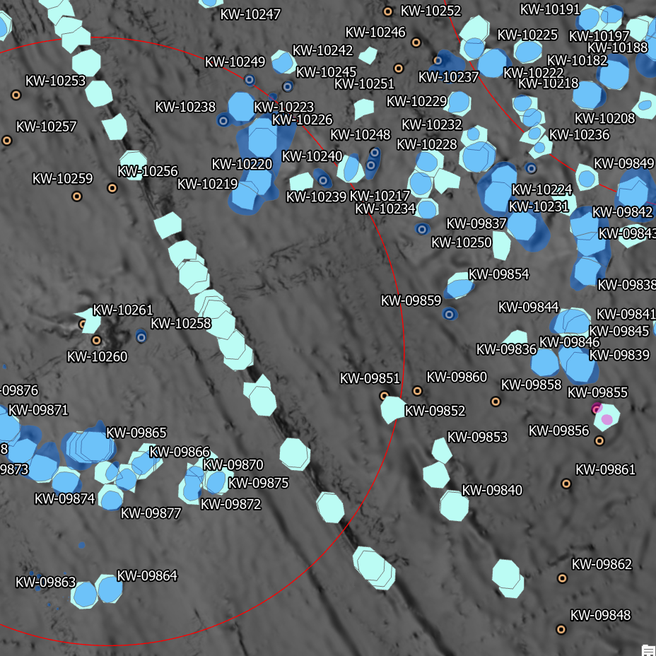
Seamounts, elevated seabed features, and bathymetric highs constitute ecologically significant habitats for various marine species, often associated with unique ecosystems and heightened biodiversity. In Australia, the absence of a comprehensive and spatially accurate inventory of these underwater structures has been a notable gap. Existing broad-scale modelling efforts, including the Parks Australia Natural Values Ecosystems (NVE) map (https://seamapaustralia.org/map/#af207808-481a-4648-93d3-4011f2689461), have predominantly relied on coarse, global datasets. These datasets, characterized by low resolution, often fail to incorporate recent bathymetric data, leading to the omission or incorrect identification of features. This work aimed to address these limitations by developing an improved dataset of raised seabed features, specifically designed to enhance broad-scale modelling efforts like those used in the NVE mapping, and in support of the objectives of NESP Marine and Coastal Hub Project 2.3 (https://www.nespmarinecoastal.edu.au/project/2-3/). Seamount features were extracted from a range of data sources (see 'lineage' section of this record) for the area surrounding the Australian continental margin. These were cross-referenced with GEBCO's 2023 global terrain model (15 arc-second interval grid) and any obviously erroneous features removed. This dataset includes all features located inside the Australian Exclusive Economic Zone (EEZ). Rather than cropping exclusively to this boundary, those features falling outside the Aus EEZ but in the approximate vicinity were also retained for context Existing feature boundaries were redigitised for areas in which more recent high-resolution bathymetry was available, utilising the 'Bathymetry of Australian Marine Parks (2024)' compilation dataset and individual survey datasets available through the AusSeabed data portal (https://portal.ga.gov.au/persona/marine). Where available, fine-scale geomorphic mapping in which seamounts and pinnacles had been classified were extracted and merged with the larger-scale features. If fine-scale mapping disagreed with features classified in the broader-scale datasets, the finer-scale data was prioritised. Where multiple features occurred immediately adjacent to each other, the digitised area represents the "footprint" of the features and as such, a single polygon may encompass multiple peaks. Where features could be uniquely identified (eg by a formal name/title), this attribute is included in the dataset.