 IMAS Metadata Catalogue
Keyword
Marine Features (Australia) | Marine Features (Australia) | Storm Bay, TAS
Type of resources
Topics
Keywords
Contact for the resource
Provided by
From
1
-
1
/
1
-
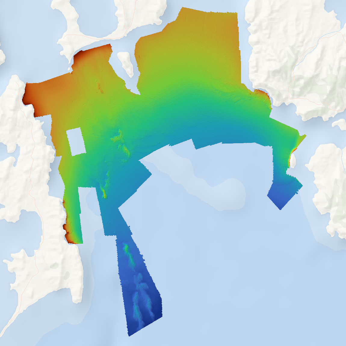
High resolution bathymetry data was collected for Storm Bay, Tasmania as part of the FRDC project 2018-131 'Storm Bay Observing System: Assessing the Performance of Aquaculture Development. Objective 2: Provide a comprehensive map of benthic habitats and bathymetry of the Storm Bay region and assessment of change at key focus areas'. Data is supplied as a single Web Map Service of hillshaded bathymetry for the mapped region. Data is available for download as (1) bathymetry, and (2) hillshade tiff files.