 IMAS Metadata Catalogue
ANIMAL SCIENCE
Type of resources
Topics
Keywords
Contact for the resource
Provided by
-
This dataset contains stable isotope and tracking data from adult female Antarctic fur seal collected at three breeding colonies across the Southern Ocean: • Marion Island (2008–2018) • Bird Island, South Georgia (2008–2012) • Cape Shirreff, South Shetland Islands (2008–2012) The dataset includes: • Stable isotope data from whole blood and whiskers • Compound-specific amino acid isotope data (δ¹⁵NAA) from whole blood • GLS-derived tracking and environmental data Samples were collected from adult female seals captured between February and April prior to winter migration. Whole blood samples provide dietary information integrated over approximately 2–3 months, while sequential whisker sections provide longer-term isotopic records spanning multiple years. Bulk stable isotope values (δ¹³C and δ¹⁵N) and compound-specific isotope analysis of amino acids (CSIA-AA) provide information on trophic ecology and foraging habitat across multiple temporal scales, from recent feeding behaviour to multi-year dietary histories recorded in whiskers. The dataset also includes light-based geolocation (GLS) tracking data from adult females equipped with geolocator loggers during the inter-breeding migration period. Tracking variables include timestamps (GMT), estimated geographic positions (latitude and longitude), uncertainty metrics, and associated environmental variables such as sea surface temperature (SST) and absolute dynamic topography (ADT), where available.
-
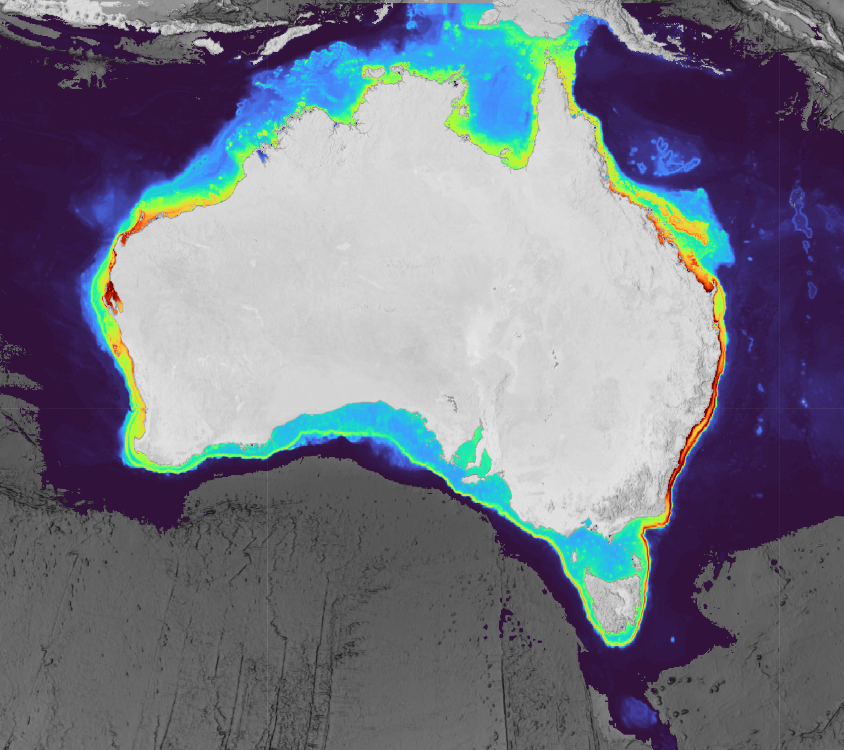
This collection contains predicted range and habitat suitability maps for 220 species of chondrichthyans (sharks, rays, and chimaeras) across Australian waters (7°–49°S, 106°–162°E, excluding offshore territories), representing approximately 68% of Australia's known chondrichthyan fauna. Occurrence records were compiled from 43 heterogeneous data sources, including national and state fisheries observer programs, scientific surveys, biodiversity repositories, acoustic telemetry networks, baited remote underwater video surveys, and beach protection programs, yielding approximately 3.37 million initial records and 2.54 million cleaned records. For all 220 species, an expert validated distribution range surface is provided. For 210 species, two additional habitat suitability prediction layers are included (~5 km resolution), derived at fixed sensitivity thresholds (95% and 90%) representing conservative estimates of the native suitable range. All outputs underwent structured expert review by taxonomic and regional specialists prior to release. Habitat suitability layers were withheld where predictions were judged to reflect sampling artefact rather than ecological signal, regardless of model performance metrics. Users should be aware that even validated suitability layers carry inherent limitations common to presence-only species distribution models at national scales, including residual sampling bias, static environmental predictors, and coarse spatial resolution (~5 km) that cannot resolve fine-scale habitat features relevant to nearshore or habitat-specialist species. These outputs are best interpreted as broad-scale indicators of environmental suitability rather than fine-scale habitat occupancy maps and should be used alongside other lines of evidence in conservation and management applications. A full description of methods, assumptions, and caveats is provided in the associated publication (De Wysiecki et al. in press). This work was funded by the Australian Government through the Parks Australia Our Marine Parks Grant (OMPG4-07), led by the Department of Primary Industries and Regional Development of Western Australia (DPIRD) in collaboration with Curtin University.
-
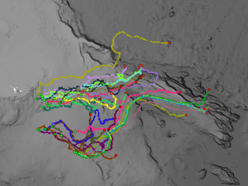
Time series dataset of depth and activity recorded by miniPAT (Wildlife computers) popup satellite archival tags deployed on Kerguelen sandpaper skates (Bathyraja irrasa, n=24) caught in the Patagonian toothfish longline fishery in Heard Island and McDonald Islands. Tags were deployed to assess the post-release survival of skates in the fishery.