 IMAS Metadata Catalogue
Modelling Framework
Type of resources
Topics
Keywords
Contact for the resource
Provided by
-
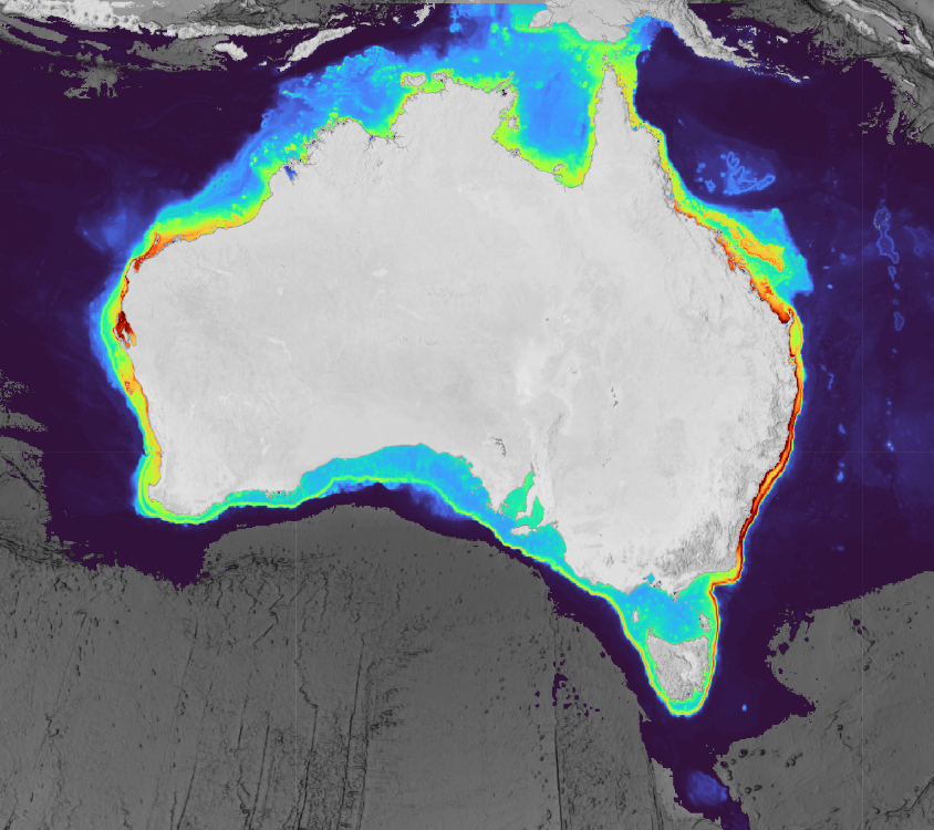
This collection contains predicted range and habitat suitability maps for 220 species of chondrichthyans (sharks, rays, and chimaeras) across Australian waters (7°–49°S, 106°–162°E, excluding offshore territories), representing approximately 68% of Australia's known chondrichthyan fauna. Occurrence records were compiled from 43 heterogeneous data sources, including national and state fisheries observer programs, scientific surveys, biodiversity repositories, acoustic telemetry networks, baited remote underwater video surveys, and beach protection programs, yielding approximately 3.37 million initial records and 2.54 million cleaned records. For all 220 species, an expert validated distribution range surface is provided. For 201 species, two additional habitat suitability prediction layers are included (~5 km resolution), derived at fixed sensitivity thresholds (95% and 90%) representing conservative estimates of the native suitable range. All outputs underwent structured expert review by taxonomic and regional specialists prior to release. Habitat suitability layers were withheld where predictions were judged to reflect sampling artefact rather than ecological signal, regardless of model performance metrics. Users should be aware that even validated suitability layers carry inherent limitations common to presence-only species distribution models at national scales, including residual sampling bias, static environmental predictors, and coarse spatial resolution (~5 km) that cannot resolve fine-scale habitat features relevant to nearshore or habitat-specialist species. These outputs are best interpreted as broad-scale indicators of environmental suitability rather than fine-scale habitat occupancy maps and should be used alongside other lines of evidence in conservation and management applications. A full description of methods, assumptions, and caveats is provided in the associated publication (De Wysiecki et al. in press). This work was funded by the Australian Government through the Parks Australia Our Marine Parks Grant (OMPG4-07), led by the Department of Primary Industries and Regional Development of Western Australia (DPIRD) in collaboration with Curtin University.