 IMAS Metadata Catalogue
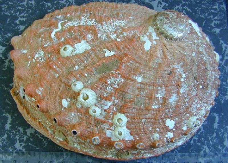
Biological and environmental correlates of reefs with contrasting abalone densities
In 2006, transect surveys were conducted at sites in eastern inshore Tasmanian waters at depths and habitats typical of those where abalone are commercially fished. Surveys focused on four areas of the Tasmanian coastline including St Helens, Bicheno and Dunalley on the east coast and the Actaeons region on the south-east coast; with at least 10 reefs sampled in each region.
Simple
Identification info
- Date (Creation)
- 2007-07-03T00:00:00
Principal investigator
Tasmanian Aquaculture and Fisheries Institute (TAFI) - Valentine, Joseph, Dr (Post-doctoral fellow)
Private Bag 49
Hobart
TAS
7001
Australia
Collaborator
Tasmanian Aquaculture and Fisheries Institute (TAFI) - Mundy, Craig, Dr
Private Bag 49
Hobart
TAS
7001
Australia
- Purpose
- The purpose of this data collection is identify reef-scale patterns in algal understory change in relation to changes in abalone abundance.
- Credit
- Fisheries Research & Development Corporation FRDC 2004/013
- Status
- Completed
Collaborator
Institute for Marine and Antarctic Studies (IMAS), University of Tasmania (UTAS) - Mundy, Craig, Dr
IMAS - Taroona
Private Bag 49
Hobart
TAS
7001
Australia
- Topic category
-
- Biota
Extent
N
S
E
W
))
Temporal extent
- Time period
- 2006-05-05T00:00:00 2006-08-03T00:00:00
Vertical element
- Minimum value
- 2
- Maximum value
- 8
- Identifier
- EPSG::5715
- Name
- MSL depth
- Maintenance and update frequency
- Not planned
Resource format
- Title
- Microsoft Access (mdb)
- Date
- Edition
- 2003
- Global Change Master Directory Earth Science Keywords v5.3.8
-
- Oceans | Marine Biology | Marine Invertebrates
- Oceans | Marine Biology | Marine Habitat
- Agriculture | Agricultural Aquatic Sciences | Fisheries
- Keywords (Taxon)
-
- Haliotis rubra
- Blacklip abalone
- crustose coralline algae
- Keywords (Theme)
-
- ecosystem changes
- Australian and New Zealand Standard Research Classification (ANZSRC): Fields of Research
- Keywords (Theme)
-
- Abalone abundance
- Substratum type
- crustose coralline algae coverage
- canopy forming algae coverage
Resource constraints
- Classification
- Unclassified
Resource constraints
- Use limitation
- The data described in this record are the intellectual property of the University of Tasmania through the Tasmanian Aquaculture and Fisheries Institute.
Resource constraints
- Linkage
-
http://i.creativecommons.org/l/by/2.5/au/88x31.png
License Graphic
- Title
- Creative Commons Attribution 2.5 Australia License
- Website
-
http://creativecommons.org/licenses/by/2.5/au/
License Text
- Other constraints
- The citation in a list of references is: citation author name/s (year metadata published), metadata title. Citation author organisation/s. File identifier and Data accessed at (add http link).
- Other constraints
- Please contact C. Mundy for access to the data
- Language
- English
- Character encoding
- UTF8
- Environment description
- Uni_file_Id: TAS_SF_20070703_938
- Supplemental Information
- Frusher S, Buxton C, Barrett N, Tarbath D, Redd S, Semmens J, Hugh Pederson, Valentine J & Guest M (2009). Towards integrated multi-species management of Australia’s SE reef fisheries: A Tasmania example. Report to Fisheries Research and Development Corporation. No. 2004/013. Tasmanian Aquaculture & Fisheries Institute, University of Tasmania. Valentine J, Mundy C, Tarbath D, Frusher SD, Buxton C (2010) Limited evidence for ecosystem level change on reefs exposed to Haliotis rubra ('blacklip abalone') exploitation. Austral Ecology 35: 806-817.
Content Information
- Content type
- Physical measurement
- Name
- Abalone abundance
- Name
- Substratum type
- Name
- crustose coralline algae coverage
- Name
- canopy forming algae coverage
Distribution Information
- Distribution format
-
- Microsoft Access (mdb)
Resource lineage
- Statement
- At each survey site a 100-m transect was deployed from the boat along the 6–8 m depth contour (2-3m at a few Dunnalley sites. Five 20 m2 quadrats were positioned at 20-m intervals along the transect and in each quadrat the number of H. rubra and other large mobile grazers (e.g. sea urchins) was recorded. Total H. rubra abundance was split into two separate categories of ‘cryptic’ and ‘emergent’ based on the location of individual animals. Cryptic H. rubra were defined as those hidden in cracks and crevices, while emergent H. rubra occupied exposed reef surfaces. Abundance of canopy-forming algae in each quadrat was also estimated by classifying cover of different species according to the following categories: 1 = 0–10%; 2 = 11–30%; 3 = 31–50%; 4 = 51–75%; 5 = 76–100%. Abundance of understorey organisms (including algae and sessile invertebrates) was assessed in terms of percentage cover. Percentage cover was estimated with a 0.25 m2 ‘subquadrat’ using a point intercept method. The subquadrat was divided with a grid of 49 evenly spaced intersections and was laid flat on the reef during algal assessment. Algae occurring under each intercept and one corner of the subquadrat were recorded, to give a total of 50 intersections per subquadrat. Five randomly positioned subquadrats were assessed in this way for each 20 m2 quadrat. Organisms were identified in situ to the highest taxonomic resolution possible. For canopy algae identification to species level was possible; however, it was necessary to allocate other species to species complexes or guilds (e.g. crustose coralline algae, foliose red algae, sessile invertebrates). Further environmental correlates measured, included relative wave exposure.
- Hierarchy level
- Dataset
Metadata
- Metadata identifier
- 6070de80-44a3-11dc-8cd0-00188b4c0af8
- Language
- English
- Character encoding
- UTF8
Point of contact
Type of resource
- Resource scope
- Dataset
- Metadata linkage
-
https://metadata.imas.utas.edu.au/geonetwork/srv/eng/catalog.search#/metadata/6070de80-44a3-11dc-8cd0-00188b4c0af8
Point of truth URL of this metadata record
- Date info (Creation)
- 2021-03-31T08:55:15
- Date info (Revision)
- 2021-03-31T08:55:15
Metadata standard
- Title
- ISO 19115-3:2018
Overviews
large_thumbnail
Spatial extent
N
S
E
W
Provided by

Associated resources
Not available